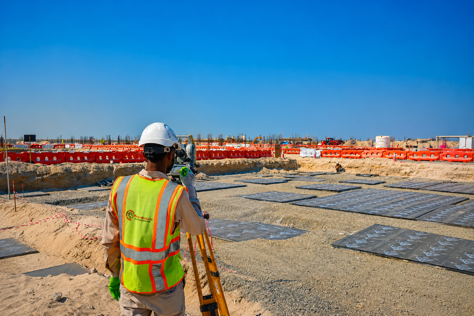
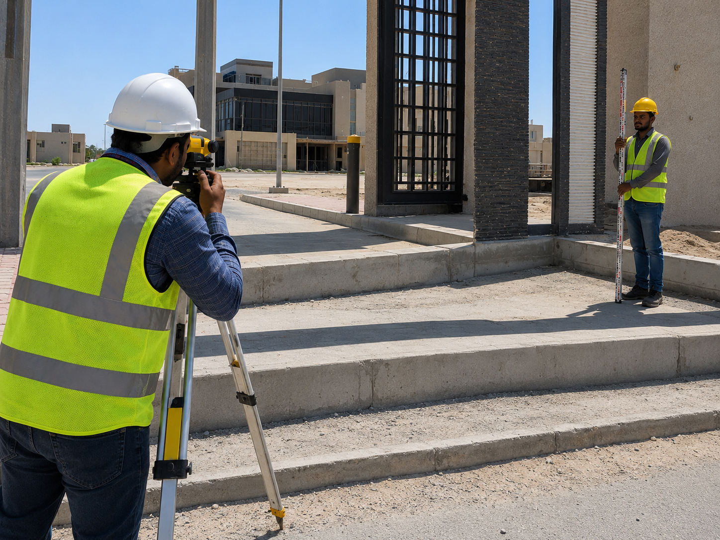
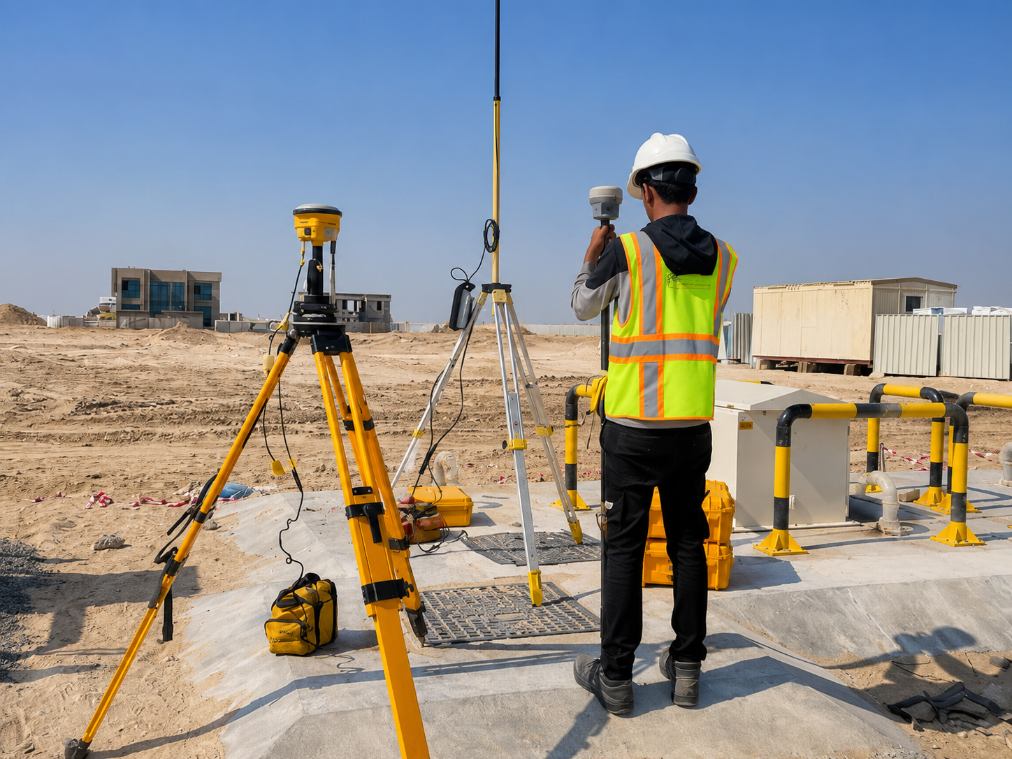
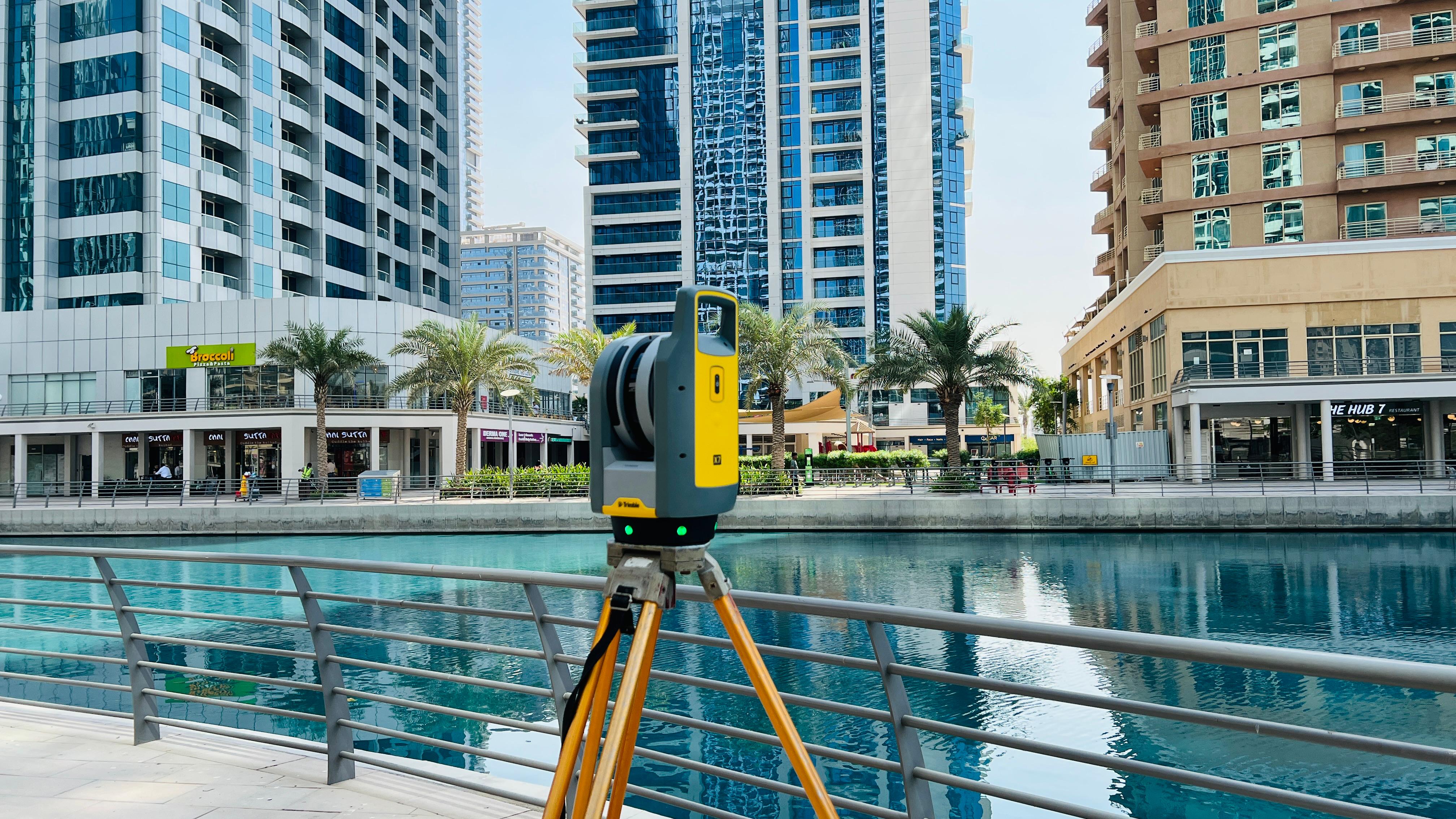
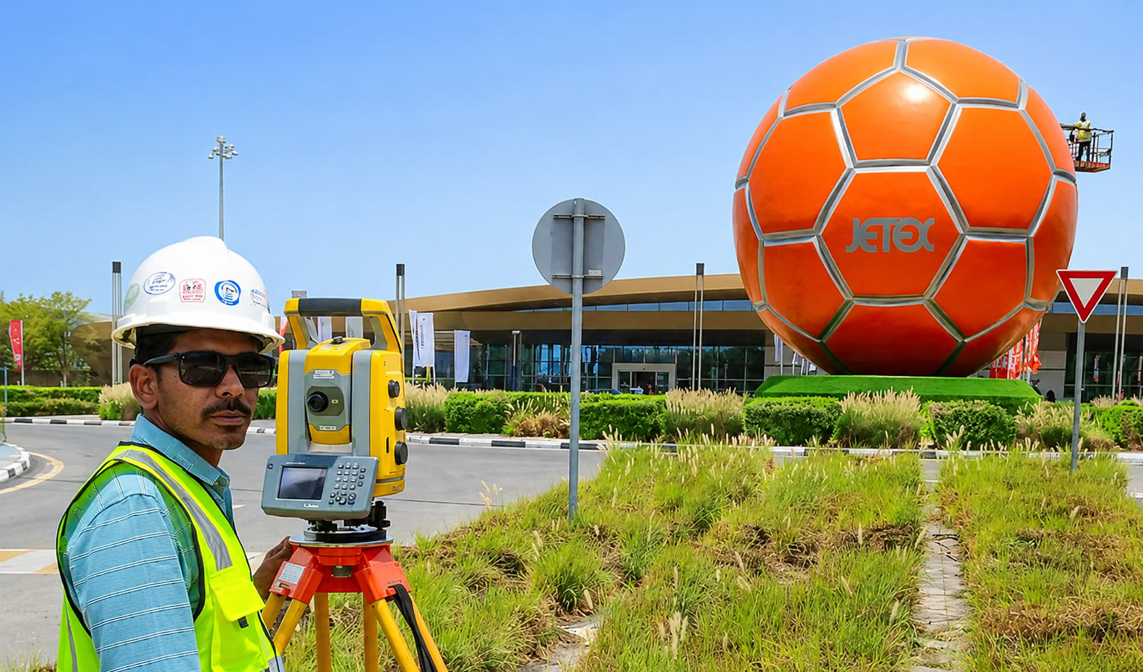
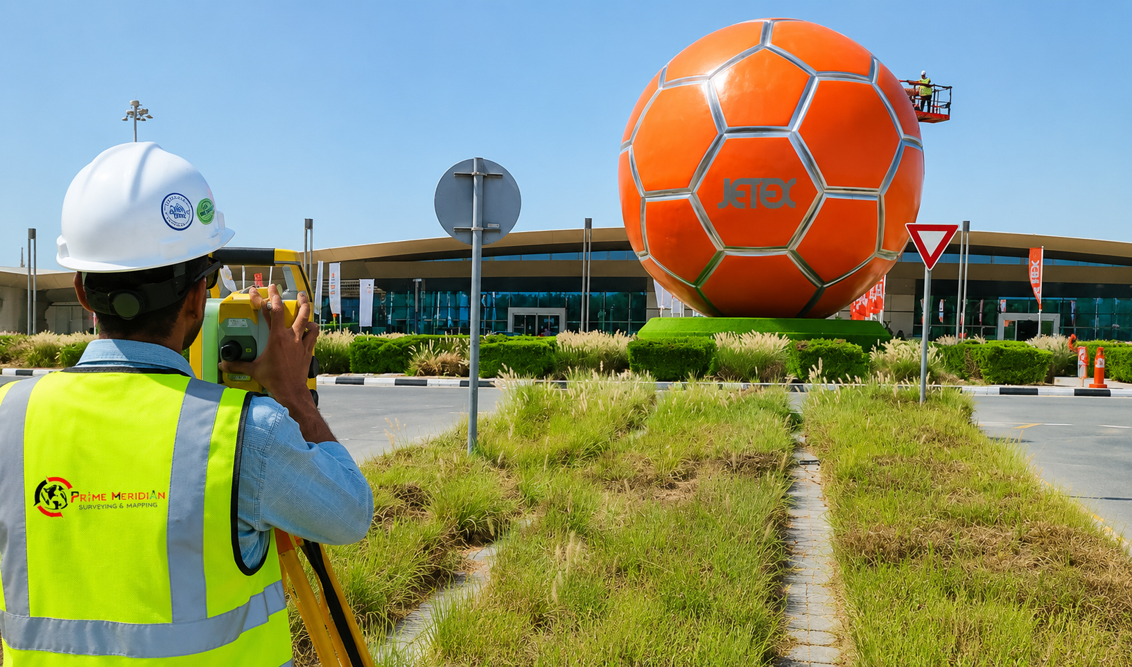
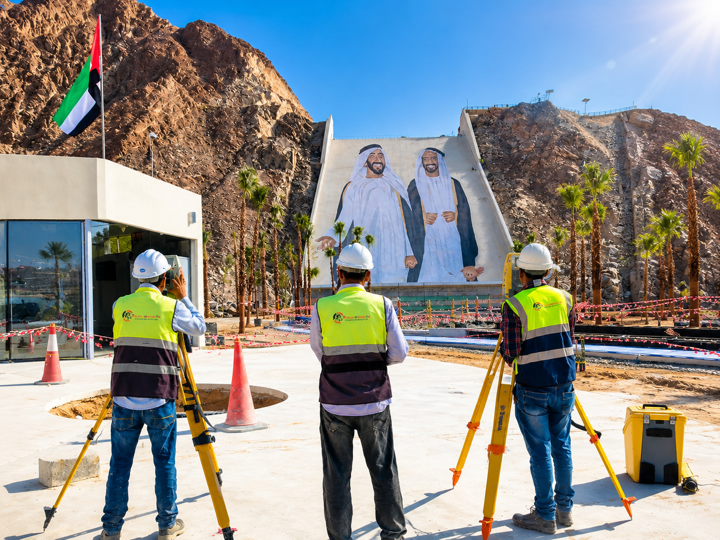
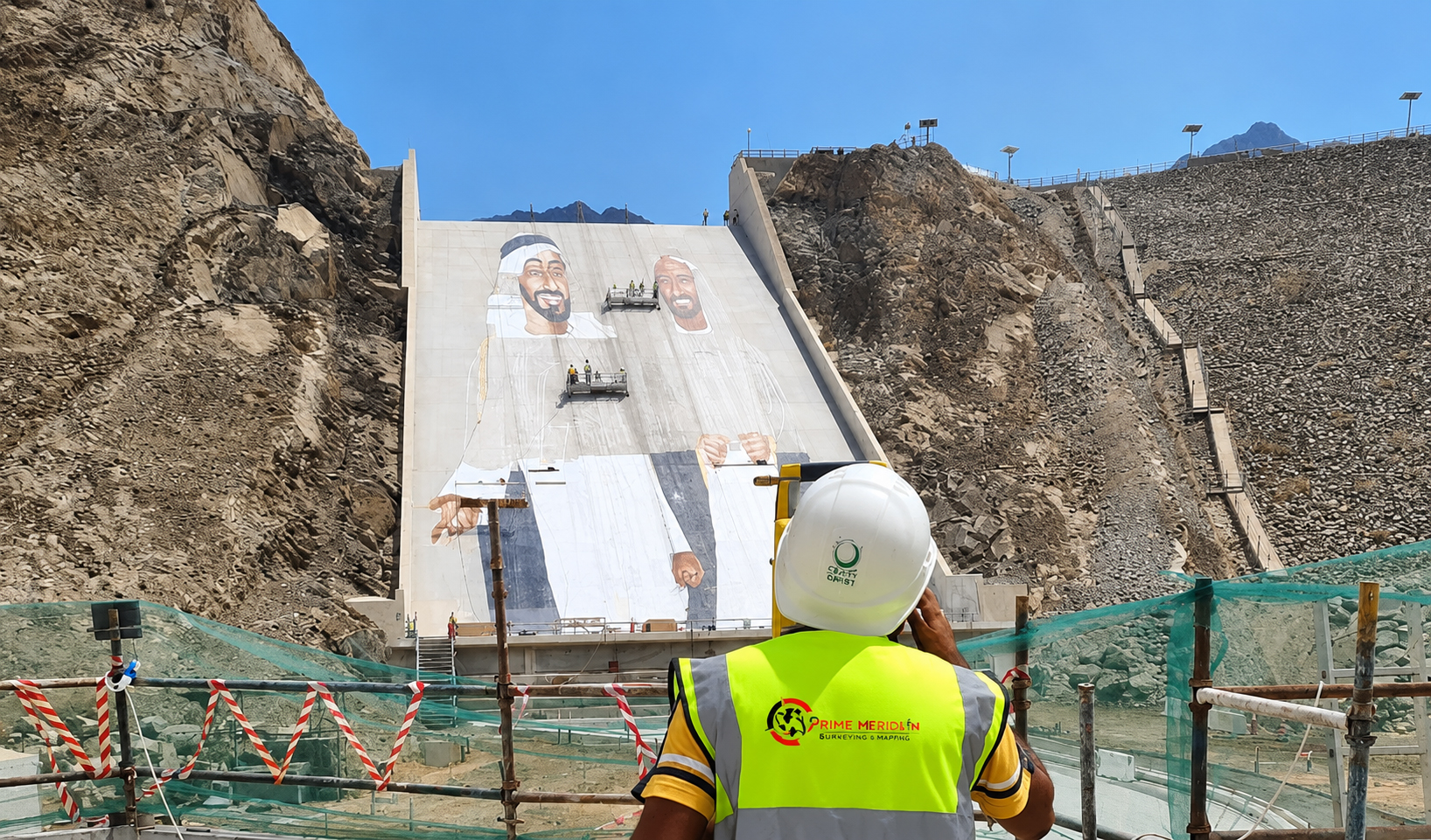
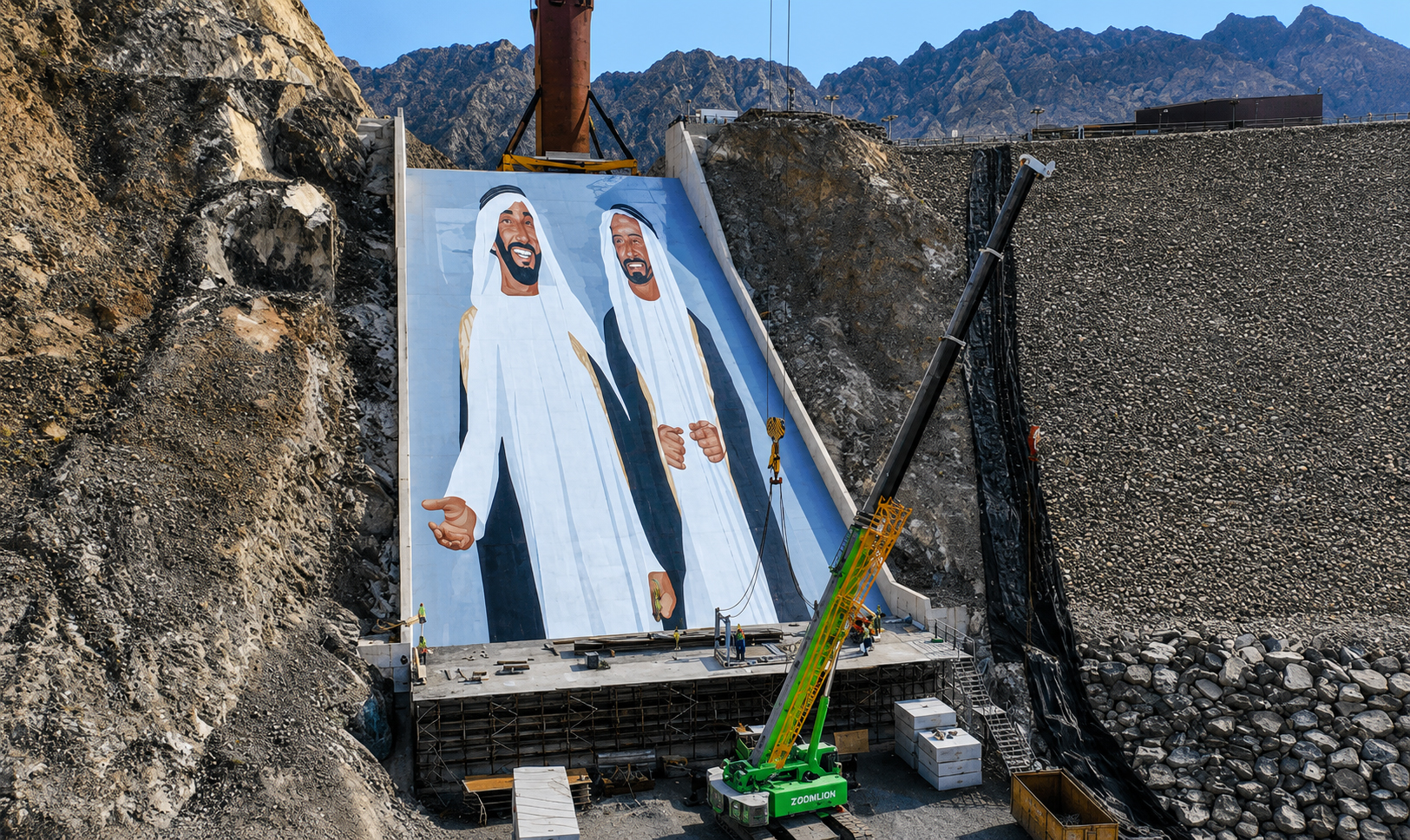
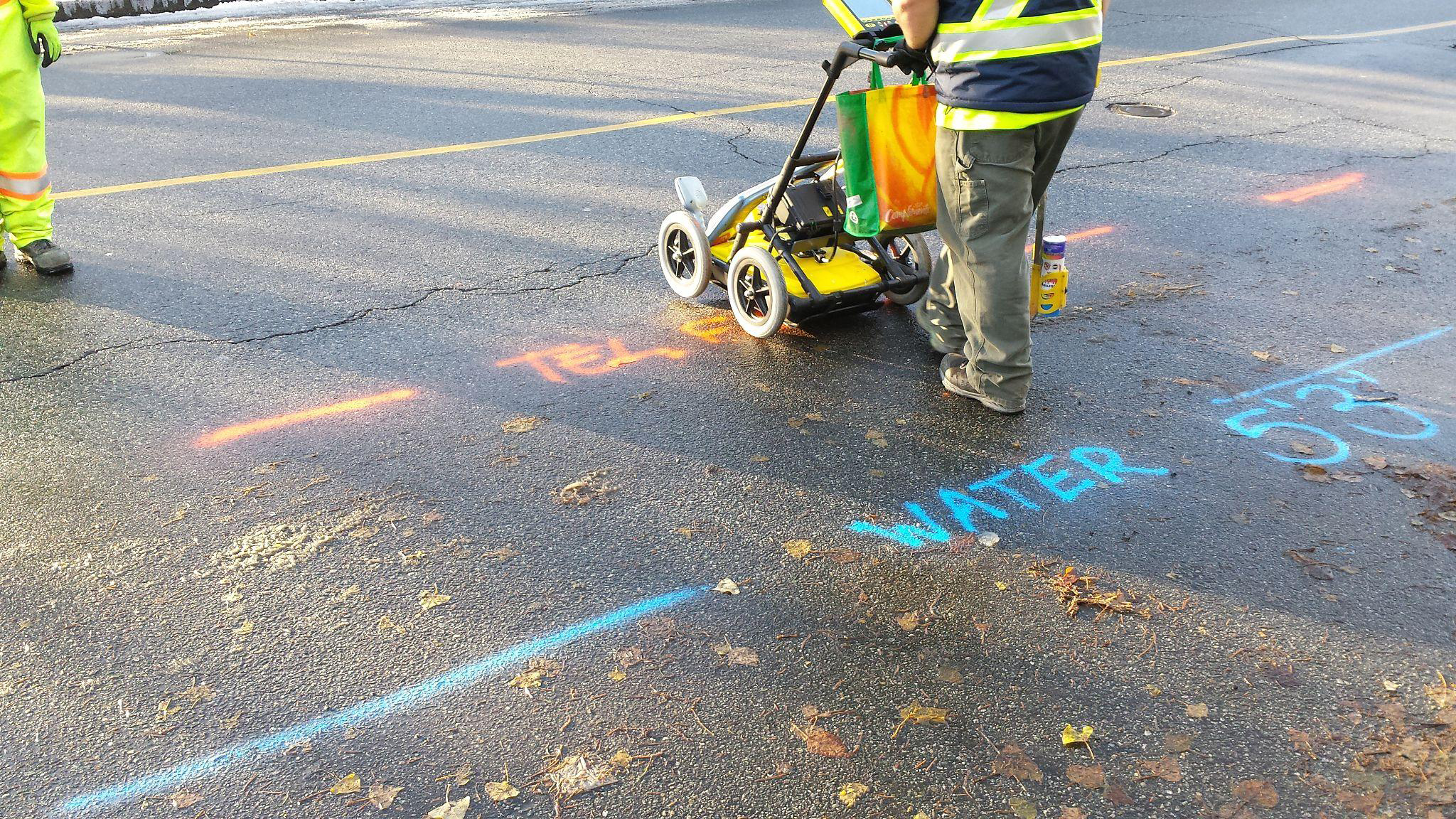
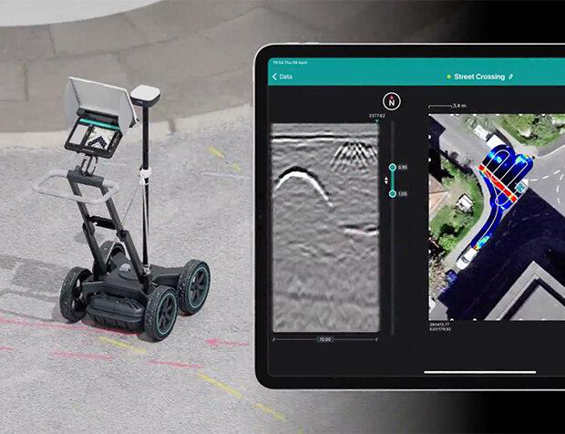
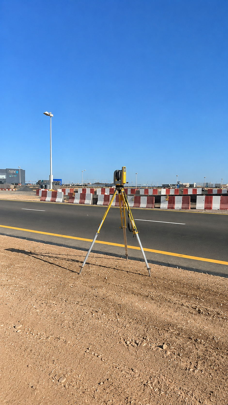
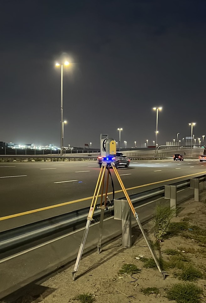
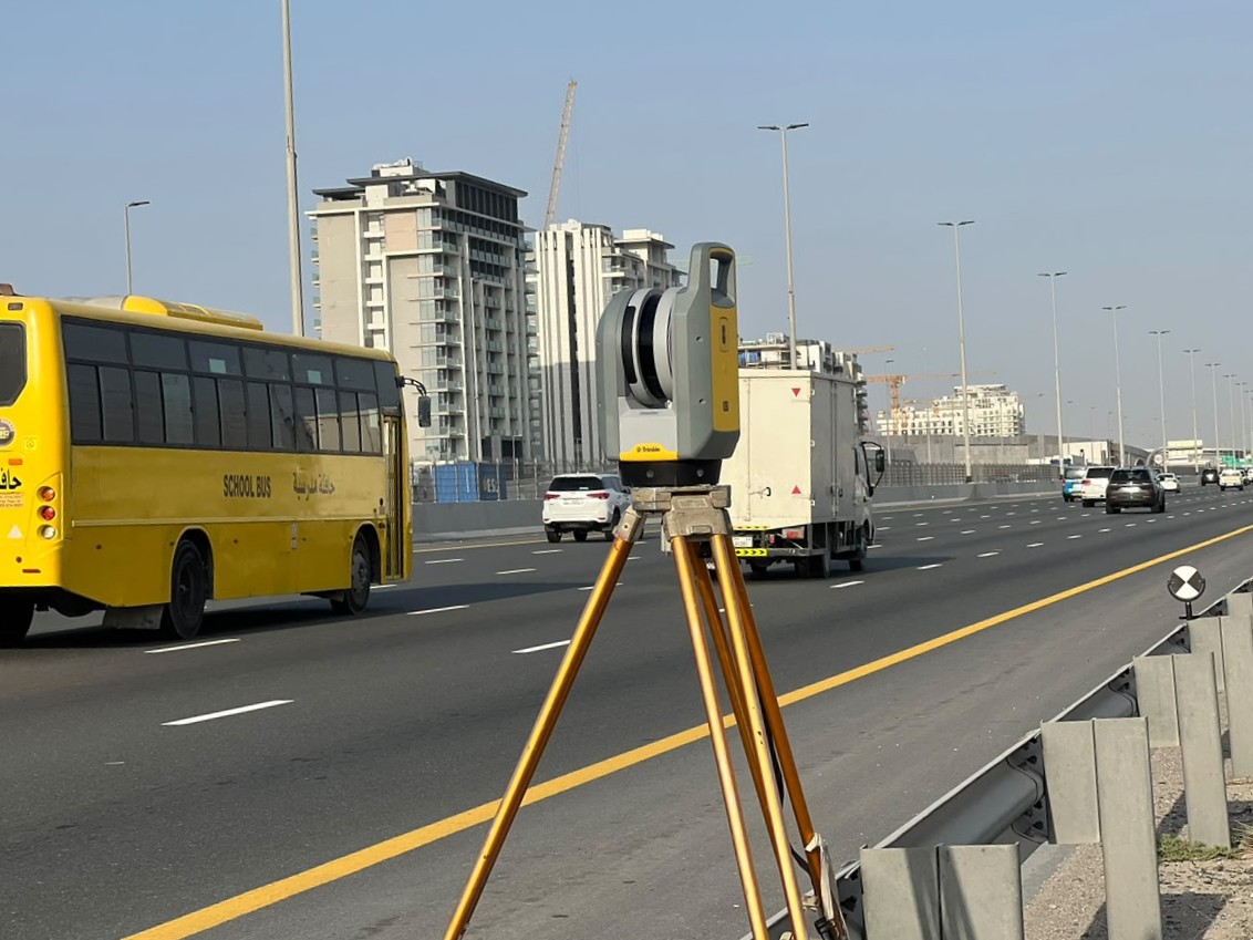
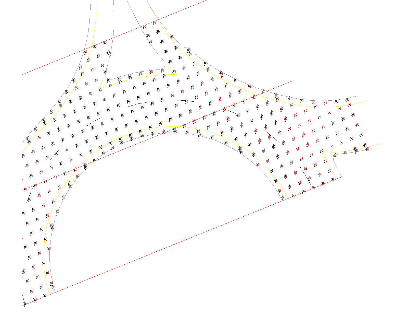
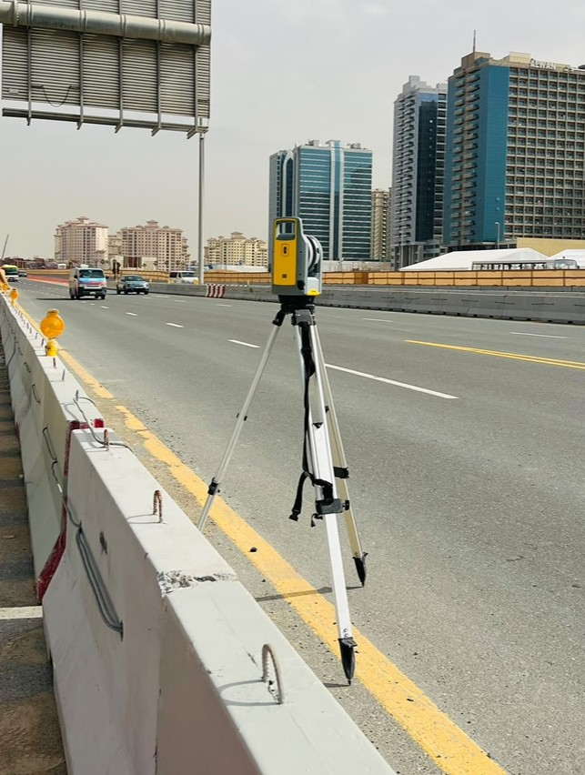
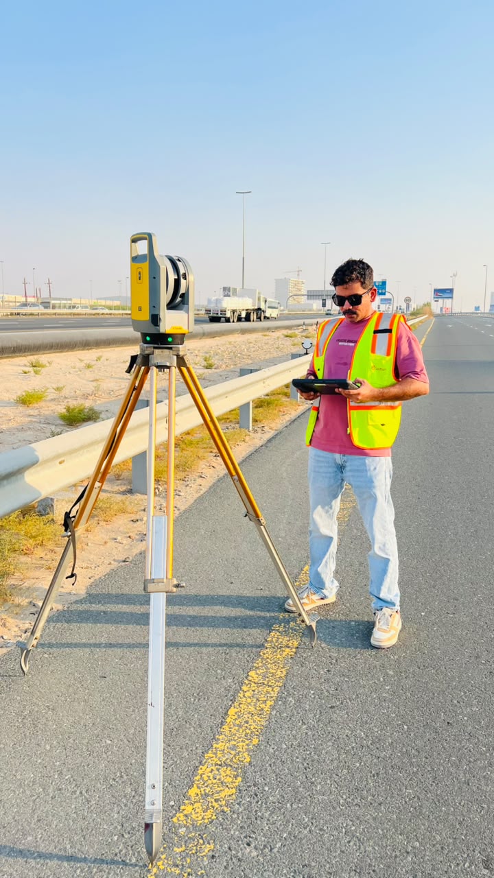
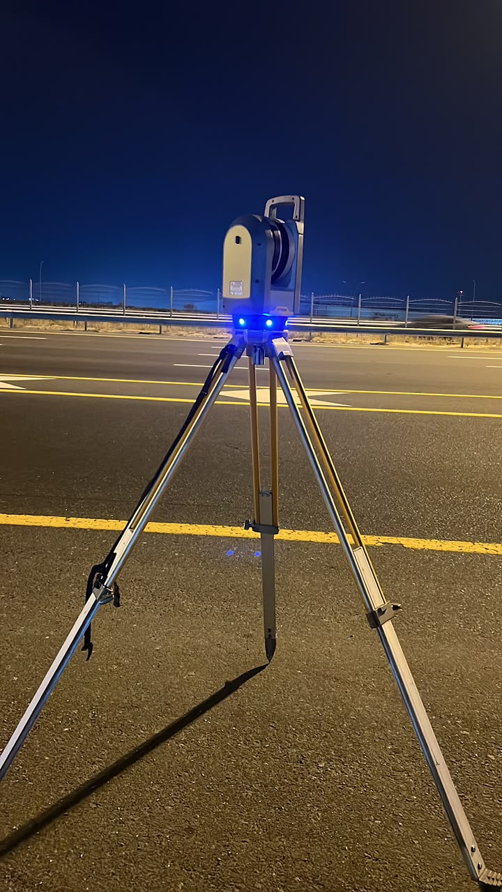
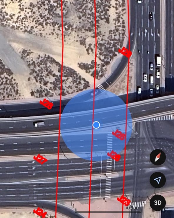
Prime Meridian Engineering Services LLC delivers reliable land survey, geodetic control, setting out, topographic mapping, static GNSS, 3D laser scanning, demarcation, and authority-ready survey documentation for consultants, contractors, and developers across the UAE. We provide comprehensive surveying solutions for all types of infrastructure, construction, and development projects, supporting major UAE authorities including Dubai Municipality, DDA, Trakhees, and other regulatory entities with accurate reports, CAD drawings, DLTM-based deliverables, and professional technical documentation.
Supporting consultants, contractors, developers and infrastructure teams across Dubai and UAE with precision engineering survey solutions and authority-ready deliverables.
Professional land survey and engineering solutions tailored for construction, infrastructure and development projects across the UAE. From topographic surveys to 3D laser scanning, we deliver accurate results with confidence and compliance.
Precise layout marking and positioning using robotic total stations and modern survey workflows.
High-definition scan data capture for as-built documentation, façade surveys, industrial sites and BIM-ready workflows.
Detailed site mapping including levels, utilities, roads, structures and OGL deliverables.
Authority-ready gate level verification for initial, tie beam and final stages with clear reporting.
Boundary demarcation, construction verification and as-built survey reports for consultants and contractors.
High-precision static GNSS observations for geodetic control establishment and survey network strengthening.
Continuous monitoring and precise movement analysis for structures, infrastructure and excavation projects using high-accuracy Robotic Total Stations.
Professional site photography and 360° visual documentation services for construction monitoring, inspections and project verification across the UAE. Access interactive visual walkthroughs online from anywhere in the world on any device — similar to Google Street View.
Trusted authority survey support services for DDA, Trakhees and Dubai Municipality projects, including demarcation, verification, inspections and authority-compliant engineering survey documentation across Dubai.
Professional survey reports and drawings prepared with clear project references, coordinates, levels and verification notes.
Survey works supported with control point verification, DLTM-ready workflows and careful field checking procedures.
Efficient field teams and modern survey equipment help contractors receive reliable deliverables on time.
Send your project details, affection plan, survey scope or required deliverables. Prime Meridian Engineering Services LLC will prepare a professional quotation and execution plan.
Send Project Details