Our Services

Trakhees Demarcation & Inspection

At Prime Meridian, we specialize in providing precise Demarcation and Inspection services, ensuring accurate boundary definition and legal compliance for properties across Dubai. Whether you're a developer, contractor, or property owner, our expert team uses advanced surveying technology to clearly mark property boundaries, prevent disputes, and confirm that your land aligns with regulatory requirements.

We are committed to delivering reliable, fast, and efficient inspections that safeguard your investments and facilitate smooth project execution, all while adhering to Dubai’s stringent land regulations.


Gate Level Confirmation

We offer precise Gate Level Confirmation services to ensure that your gate and access points are installed at the correct elevation, complying with both design specifications and local regulations in Dubai. Our expert surveyors use advanced leveling tools to verify accurate gate heights, preventing drainage issues and ensuring smooth access for vehicles and pedestrians.

With our commitment to precision and regulatory adherence, you can trust us to deliver accurate and reliable gate level confirmations that contribute to the safety and functionality of your property.

Building Setting-Out

We specialize in comprehensive Building Setting-Out services, ensuring that your construction projects are executed with precision and accuracy from the very beginning. Our expert surveyors employ advanced techniques and state-of-the-art technology to accurately establish reference points and lines, guaranteeing that your buildings are positioned correctly according to architectural plans and local regulations.

We understand the critical role that accurate setting-out plays in the success of any construction project. With our commitment to delivering reliable results, we help minimize costly errors, streamline project timelines, and enhance overall project efficiency. Trust Prime Meridian to lay the foundation for your project's success.

As-Built Survey

We provide detailed As-Built Survey services that capture the precise dimensions and locations of completed construction projects. Our skilled surveyors utilize advanced technology and methodologies to document the actual conditions of your structures, ensuring that all deviations from the original plans are accurately recorded.

This critical service supports effective project management by offering essential insights for future maintenance, renovations, and compliance with local regulations. Our commitment to precision and thoroughness guarantees that you receive reliable data that reflects the true state of your property, helping you make informed decisions and safeguard your investment.

Choose Prime Meridian for your As-Built Survey needs and experience peace of mind knowing your project is accurately documented and ready for the next steps.

Quantity Calculation

We specialize in providing precise and reliable quantity calculation services to support construction, land development, and infrastructure projects. Our experienced team utilizes advanced surveying technologies and methodologies to deliver accurate earthwork and material volume calculations.

Whether you require cut-and-fill estimations, stockpile assessments, or excavation volumes, we ensure that our calculations meet the highest standards of precision. Our commitment to detail helps streamline project planning, cost management, and decision-making, providing you with the data you need to drive project success.

Aerial Survey

We provide cutting-edge aerial survey services using advanced drone technology to capture precise and comprehensive data from above. Our aerial surveys offer a fast, efficient, and cost-effective solution for mapping large areas, monitoring construction progress, and gathering terrain data for various land development, infrastructure, and environmental projects.

With high-resolution imagery and 3D modeling capabilities, our aerial surveys deliver detailed topographic maps, elevation models, and volumetric calculations. This technology allows us to access hard-to-reach areas while minimizing field time and maximizing data accuracy, helping you make informed decisions throughout your project lifecycle.

Count on Prime Meridian’s aerial survey services to deliver timely, accurate, and actionable insights for your project’s success.

Contour Survey

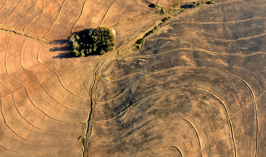
We specialize in providing precise contour survey services to accurately map the elevation and slope of land. Our contour surveys are essential for site planning, design, and construction, ensuring you have detailed information about the topography and natural features of your project area.

Using advanced surveying equipment and techniques, we create detailed contour maps that allow you to visualize the terrain and make informed decisions regarding grading, drainage, and infrastructure placement. Whether you’re working on land development, road design, or flood risk assessment, our contour surveys provide the critical data needed for successful project execution.

Topographic Survey

We offer comprehensive topographic survey services to accurately map the physical features of your project site. Our topographic surveys provide detailed information on both natural and man-made structures, including terrain elevations, vegetation, roads, and buildings, essential for informed decision-making in planning, design, and construction.

Using the latest surveying technology, we deliver precise, high-quality topographic maps that help you understand the layout and elevation of your land. These surveys are critical for site development, infrastructure projects, and land use planning, ensuring your project proceeds smoothly from the initial stages.

With Prime Meridian, you can trust our topographic surveys to provide the accurate, reliable data you need for successful project execution.

© 2024 All Right Reserved | Powered by Prime Meridian